
Blended course Intermediate

GIS for Web System Development

Build practical web mapping systems by connecting spatial data, services and modern browser interfaces.

INVCOURSES Faculty 12 hours 6 lessons English
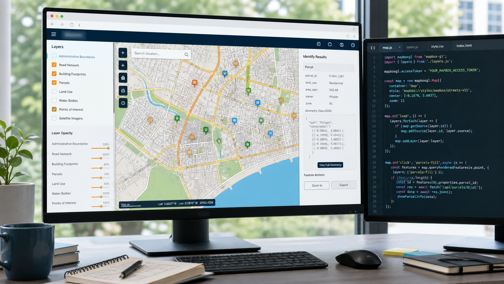
Web GIS map and development workspace Preview available

Course overview

About this course

A structured introduction to designing, developing and deploying web-based geographic information systems for real operational needs.

What will you learn?

Core architecture and spatial web concepts.
Create practical browser maps with useful controls, layers and user interactions.
Prepare, secure and publish a maintainable Web GIS application.
Develop a practical workflow you can continue using after the course.
Learn at your own pace across desktop and mobile devices.

Curriculum

Course content

3 sections / 6 lessons
Section 1Web GIS foundations 2 lessons
Understanding a Web GIS architecture Preview
Spatial services and browser clients
Section 2Building an interactive mapping client 2 lessons
Designing map layers and controls
Connecting spatial services to the browser
Section 3Delivery and operational readiness 2 lessons
Securing and testing the application
Deployment checklist and next steps

Your instructor

Learn with INVCOURSES Faculty

IN

INVCOURSES Faculty

Professional tutor on INVCOURSES

Subject specialist Verified instructor